DATAI ANTIKLIN GEOSITE
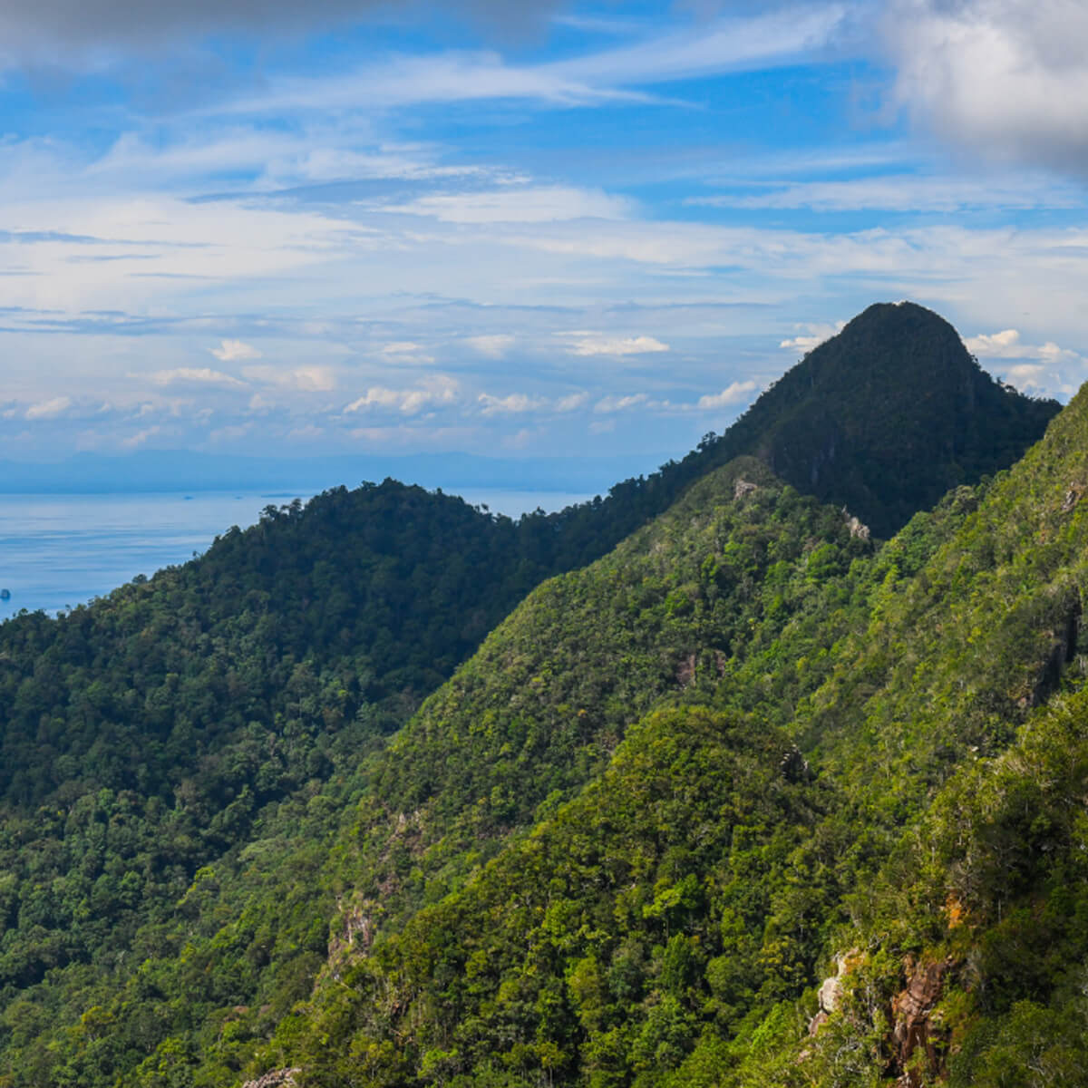
This geosite represents the Machinchang mountain landscape located northwest of Langkawi Island. Datai Bay represents the mega-fold anticline axis that geologists can only interpret through the different orientation of bedding-plane of the Machinchang Formation. The anticline formation is due to tectonic compression that occurred after the formation of this sedimentary rock.
Datai anticline and the orientation of the rock layers are the manifestation of the landscape seen today. The entire area is covered by Machinchang Permanent Forest Reserve, characterised by a mixed dipterocarp forest and sandstone shrubby hill forest. The jagged shape of the ridges, which is influenced by the structure of the anticline, inspired the legend of the giant Mat Chincang. This outstanding and beautiful landscape inspires tourists to visit the Machinchang Cambrian Geoforest Park.