TANJUNG CHINCHIN DEEP SLOPE GEOSITE
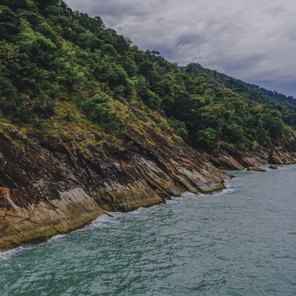
This geosite represents the western slope of the Data anticline at the Machinchang Formation rocks of Cambrian age (550-505 million years. The deep slope of about 30-35 degrees, plunging into the sea, form tilted table-top landscape more than 100 m high and about 10 km long to form a magnificent geological wonder. There are various geomorphological features at the base of the deep slope, such as seawater fountain, wave abrasional platform, sliding rock layers, canyons and waterfalls.
The vegetation here is represented by rocky cliff/beach flora, riparian flora of the Tama River and mixed dipterocarp forest. The morphology of coastal erosion in the northernmost part, which looks like a ring inspired the locals to name this place, Tanjung Chinchin, which is related to the legend of the big fight between two giants, Mat Chincang and Mat Raya.